Processing and validating data for a cadastral survey with PIX4Dmatic reduced weeks of work […]
Read more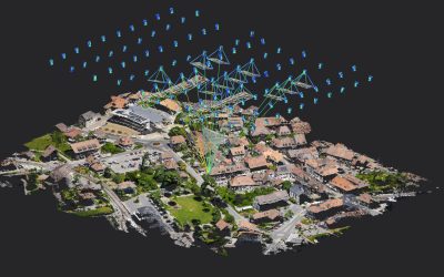
Processing and validating data for a cadastral survey with PIX4Dmatic reduced weeks of work […]
Read more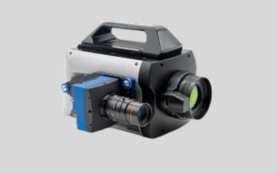
FLIR MIX launched for multispectral imaging On 8th April 2025, FLIR, a Teledyne Technologies […]
Read more
The US Space Force’s Space Operations Command had an engagement with defense space leaders […]
Read more
Kenya and Italy have entered a landmark partnership to establish a regional centre for […]
Read more
Meta has announced plans to build a 50,000km (31,000 mile) sub-sea cable across the […]
Read more
AI extends beyond automation, incorporating a broad spectrum of skills, abilities that enable machines […]
Read more
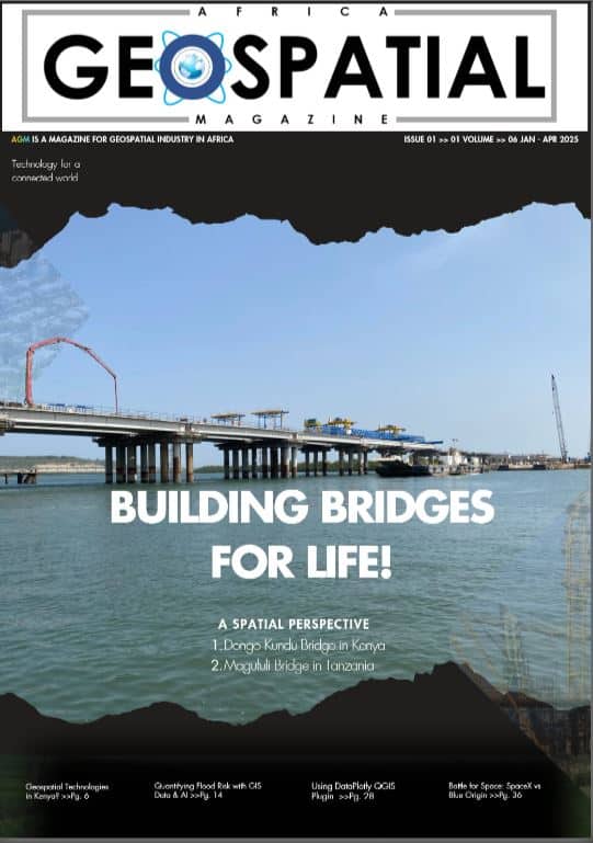
Land Digitization in Kenya The republic of Kenya is establishing a digital national land […]
Read more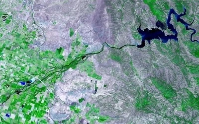
The environment is one of the most pressing concerns of our time, and Geographical […]
Read more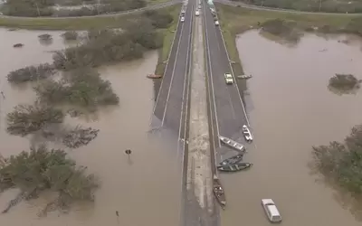
Flooding in Brazil The intense rainfall from 15th January night into 16th January 2025 […]
Read more
In Eastern China, police are now patrolling the streets with a rolling robot that […]
Read more